Golden Software has revealed Strater 4, a powerful, user-friendly well log, borehole and cross section plotting software package for geoscientists. Strater 4 enables users to quickly create professional well logs, cross sections and location maps from interval, depth, and other borehole data.
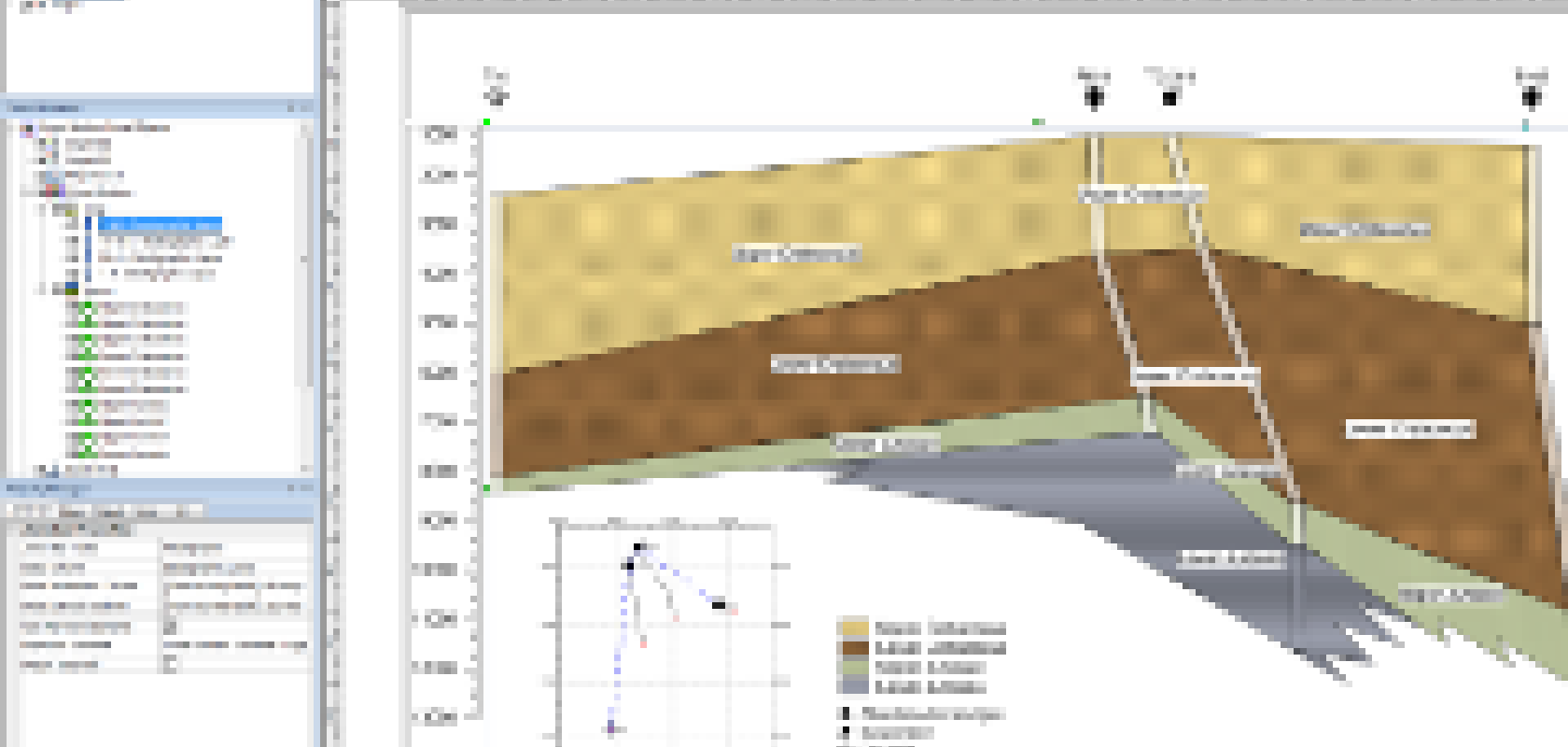
Among the new features in Strater 4 are the abilities to display deviated logs in a cross section, display deviation paths on a map, and to create cross sections using line logs. Showing deviated logs and deviation paths are helpful with so many boreholes currently being deviated and horizontal. Strater can now create a more accurate representation of the data. Creating cross sections from line logs opens up the possibilities to many geoscientists who only have geophysical data (i.e. LAS files) and top or bottom layer picks.
Version 4 also includes a full coordinate system library. Users can create maps from data in all different coordinate systems. When cross sections are created from the maps, the horizontal units displayed in the well headers or horizontal scale bars can be converted accurately to any desired units.
Strater 4 operates in a Microsoft Windows environment with Windows XP, Vista, 7 or 8. It includes free updates and free technical support.