Whether it’s up in the sky or under our feet, the natural world and all its complexities are increasingly being modelled by software packages. The results are used to predict future movements of, for example, volcanic ash – or to identify the most productive process for mining coal.
Ashes to ashes
At the Barcelona Supercomputing Center (BSC), Arnau Folch, has been working as part of the Environmental Simulations Group to provide numerical modelling of volcanic ash clouds.
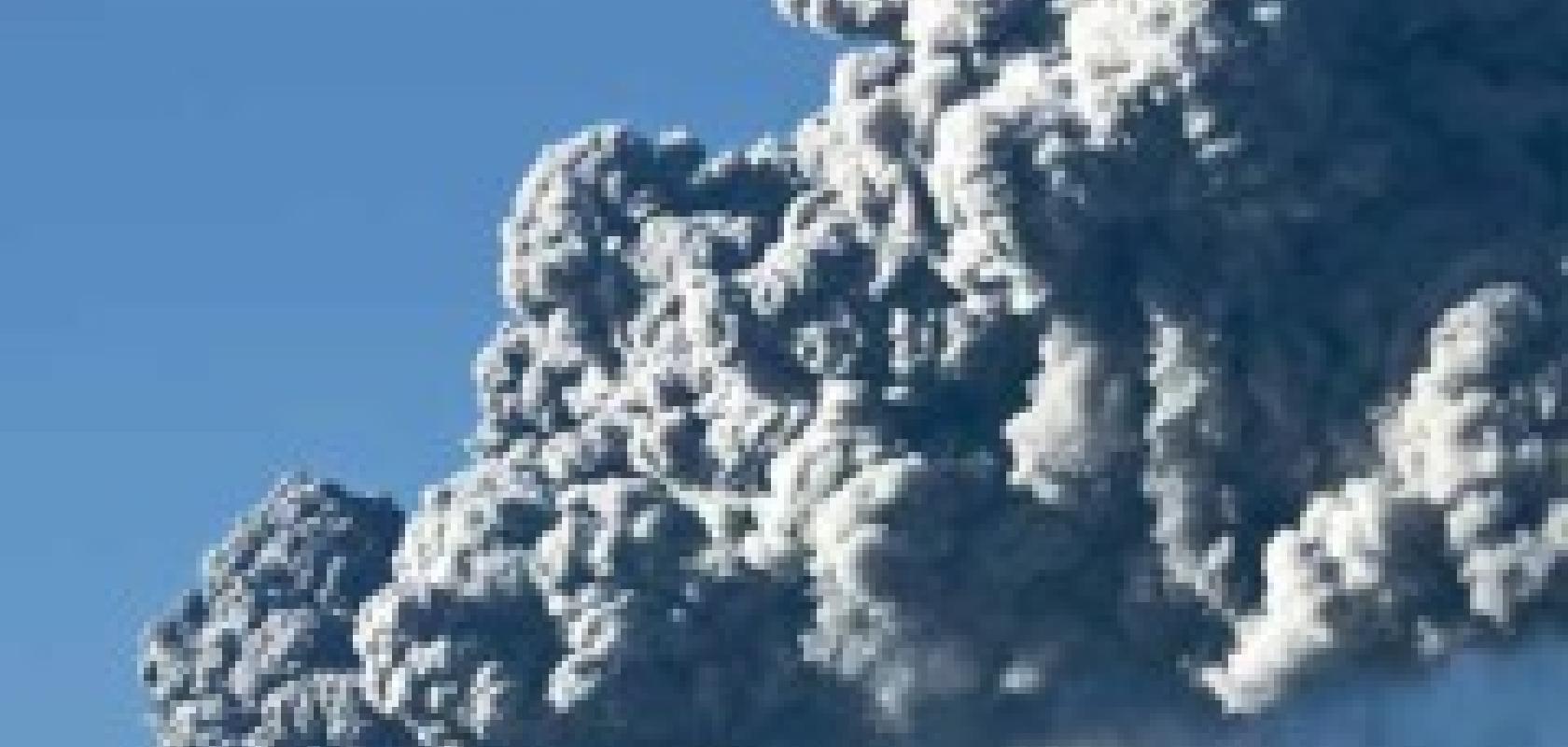
Explosive volcanic eruptions eject into the atmosphere enormous quantities of particulate matter, globally known as tephra, that is dispersed by winds at scales from local to continental. Millimetric particles sediment and fall out, causing an array of impacts on local communities, infrastructures and ecosystems. In contrast, micrometric-size particles (volcanic ash) can remain airborne for days to weeks, in the form of ash clouds that jeopardise aerial navigation.
Volcanic Ash Advisory Centers (VAACs) are the official institutions tasked by the International Civil Aviation Organization (ICAO) with monitoring and forecasting of ash clouds within their assigned airspace. Although the 2010 Iceland eruption was the most disruptive event in recent history, VAACs have been around since the mid-90s.
VAACs make use of satellite imagery and Volcanic Ash Transport and Dispersal Models (VATDMs) to produce six-hourly forecasts that are used by civil aviation authorities to close contaminated airspace and aircraft re-routing. The recent disruptions caused by Eyjafjallajökull (Iceland, 2010) and Cordón Caulle (Chile, 2011) volcanoes have evidenced some flaws in the operational strategies and lead to an examination of VATDMs. ‘The community realised that existing codes and modelling strategies were not as good as could be,’ says Folch. ‘Moreover, different VAACs use different codes and modelling strategies.’
The BSC group develops and maintains FALL3D, a parallel VATDM running at scales from local to continental, and used at the VAAC in Buenos Aires. Several other users apply the model worldwide for a number of purposes including operational forecast of tephra fallout and ash clouds or generation of probabilistic maps for long-term hazard and risk assessment (for example, Australia Geoscience or the members of the Latin-American thematic network CENIZA). In turn, the group is also developing a GIS-based tool for short- and long-term air traffic management aimed at providing decision support to stakeholders, decision-makers and other model end users.
‘Originally, we developed the code just to monitor and predict ground-level fallout,’ says Folch. ‘But now, it is used mostly for predicting the concentration of ash in the air, which is why the civil aviation industry has become interested in it.’
The code itself could run on a standard PC – but, in order to achieve the results at the speed at which they are useful, HPC is required. ‘In an emergency, speed of the code is important,’ says Folch. ‘The problem is that there is still great uncertainty during an eruption, since we are dependent on live data being fed into the model in order for it to be accurate. It is very difficult to measure all the factors in an eruption in real time. We mainly need to know how much ash has erupted, and how it is distributed within the cloud. If we are able to feed in satellite imagery and data from ground-based systems, the model can be more accurate. So, in the early stages of an eruption, prediction is very difficult.
‘Also, some volcanoes are very well monitored, while others are in remote locations that may not even have proper satellite coverage; that will clearly have an effect on the quality of the model we can generate.
‘HPC is still not widely used within the volcanology community. Very few of the codes have been adapted for parallel use. It would be fantastic if there was more widespread use of HPC, but the community does not yet have the skills to take advantage of it.’
Coal in the hole
Gemcom, part of Dassault Systemes, provides a range of geology and mine planning software solutions, and has worked with major companies around the world.
Its Minex product has been used in Exxaro’s Grootegeluk mine in South Africa’s Waterberg Coalfield, which produces 18 million tonnes of coal per year from an area of more than 740 hectares. It has been applied to model complex coal reserves in order to achieve maximum quality and production.
The amount of data generated in a mining operation of this size is staggering. A recent geological model at Grootegeluk covered 760 boreholes. A full succession borehole holds 12 coal zones and five interburden waste seams, as well as an unweathered and a weathered overburden horizon. This equates to 17 different mining horizons, or benches. Each horizon has a roof, a floor, and a thickness grid, yielding a total of 81 grids in the bench structure model.
The 12 coal and coal-bearing seams are modelled in 13 different density fractions for life-of-mine scheduling purposes, generating 1,560 quality grids for proximate analysis. ‘Our bench quality model comprises 5,696 grids and counting,’ says Caille Van Heerden, senior geologist at Grootegeluk. ‘The complexity of the multi-seam geology and its associated quality parameters make Minex an essential part of our modelling efforts. I do not think we would ever get a model of this magnitude out without Minex.’
One person would take three to four weeks to create a bench structure model for the mine, according to Van Heerden. ‘When you reproduce something with the same data and methodology, the software always renders the same answer,’ he says. ‘If the output is different, you know that you are either doing something wrong, or something has changed in the data or methodology. This high level of accuracy is especially important in view of the stringent specifications and narrow tolerances imposed by many of Grootegeluk’s clients.’
Van Heerden highlights the advantages of the software’s 3D capabilities. ‘You can utilise the graphical display to check your work as you go along,’ he continues. ‘The results of the behind-the-scenes mathematics are displayed in the graphics window, so you always have a feel for what is happening in the modelling process.’
This will help the next stage, as Van Heerden moves to a more complex seam model. ‘The new model will have 58 seams in total, resulting from specific combinations of the 76 coal and non-coal samples,’ he explains. ‘The sample qualities are combined to yield seam qualities. Combining different seams to form new bench scenarios will enable us to optimise production from the mine and product qualities from the plants.’
This optimisation will enable Grootegeluk to expand the number of high-value products that can be extracted from the same deposit. It will also mean that more tonnes can be mined with the same equipment, thereby saving money and increasing profitability.
