College students with mobility impairments who are studying for a career in the geosciences will soon be able to explore a computer-generated simulation of a large cave system to meet the degree requirements of field-based learning experiences.
To develop an interactive, virtual field trip through a portion of Kentucky's famous Mammoth Cave, the National Science Foundation (NSF) Opportunities for Enhancing Diversity in the Geosciences (OEDG) programme has provided funding for a research team led by a team of visualisation experts at the Ohio Supercomputer Center (OSC) and a geoscience researcher at Georgia State University (GSU).
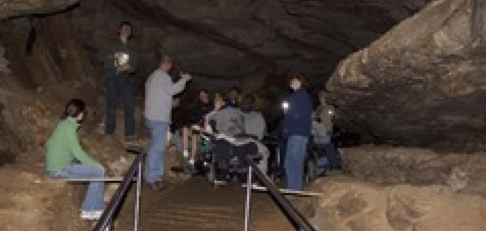
Mammoth Cave is the world's longest known cave, with more than 392 miles (630 km) of interconnected chambers and passages. The two-year proof-of-concept research project, 'Expanding Geoscience Diversity through Simulated Field Environments for Students with Physical Disabilities,' seeks an alternative environment to the physically demanding conditions encountered during field study, conditions that have led to a an underrepresentation of graduates with mobility impairments in the geosciences.
'Traditionally performed outside of the laboratory, geology is the study of the interrelationships between the natural processes that have shaped the earth over billions of years,' said Dr Christopher Atchison, recently a graduate research assistant at OSC and now an assistant professor of geoscience education at GSU. 'Although there are many sub-disciplines within the geosciences that create different opportunities, this science does not lend itself well to those who are physically unable to venture past the controlled laboratory setting.'
In addition to structural data the research team previously obtained from the Cave Research Foundation, they also will gather high-precision data collected by laser remote-sensing technology, called lidar (Light Detection and Ranging), and through high-resolution digital photography of specific geological formations needed for the training.
The data will be integrated into a virtual environment to emulate a typical field outing that will then be explored and evaluated for usability by a representative group of students with mobility impairments selected and supported by Ohio’s STEM Ability Alliance.
'Through this experience, students will better inform the creation and development of a synthetic environment tailored to emulate a geological field study,' explained Don Stredney, OSC senior research scientist for biomedical applications and director of the centre’s interface laboratory. 'Additionally, the students' experiences will assist the developers in creating an environment that is tailored to their abilities, as well as in establishing a sense of realism based on their experiences within the actual field site.'
In developing a very basic simulation demo for an earlier planning study, the team processed a polygon mesh model to make it compatible with a freely available 3D gaming engine. Following the application of texture maps to the mesh, a player-controlled camera with a headlamp was added to the program. The research team designed the final demo to be run as a stand-alone program or in a web browser on both Windows and Macintosh computer platforms.
By working with the content experts, the research team will develop interactions within the virtual environment to allow users to call up additional information about the cave and karst system. A karst is an area of irregular limestone that has been eroded to produce fissures, sinkholes, underground streams and caverns.
The team hopes that the project will prove the vast potential for a simulated field experience and lead to an even broader, more involved OEDG full-scale study of a virtual field education module.
